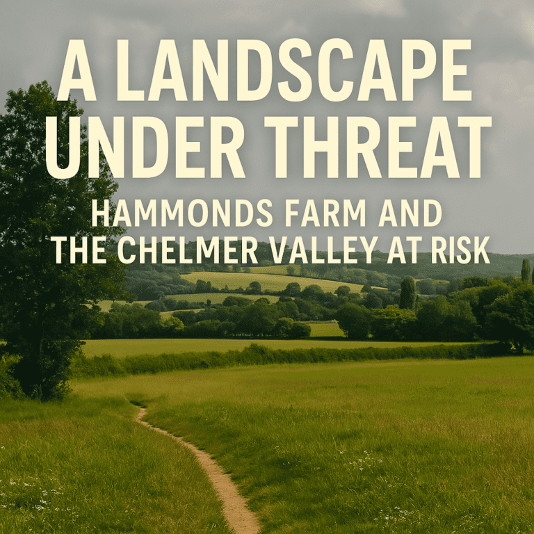
Chelmsford City Council’s plan to allocate Hammonds Farm for 3,000 homes and 2 x large-scale business parks is not just a matter of numbers or housing targets. It is a direct threat to the historic and cultural identity of the surrounding landscape — one shaped by centuries of continuity and now at risk of being permanently lost.
A Rich and Historic Landscape
The area surrounding Hammonds Farm is exceptionally sensitive in heritage terms. It contains a dense concentration of designated and non-designated heritage assets, including:
Conservation Areas
- Sandon Conservation Area
- Little Baddow Conservation Area
- Boreham Conservation Area (nearby and likely within setting range)
Listed Buildings (by area proximity)
- Multiple Grade II listed buildings in Sandon, including The Old Rectory, Sandon Hall Farmhouse, and historic cottages
- Grade II and Grade I* assets in Little Baddow, such as St Mary’s Church
- Historic farms and manor houses scattered around the Chelmer Valley and Hammonds Road area
- Listed barns and agricultural buildings forming part of the rural setting
But heritage is not simply about protecting isolated buildings. It is about preserving the relationship between these assets and the rural landscapes that define their setting. When that landscape is erased, so too is the context that gives these places meaning.
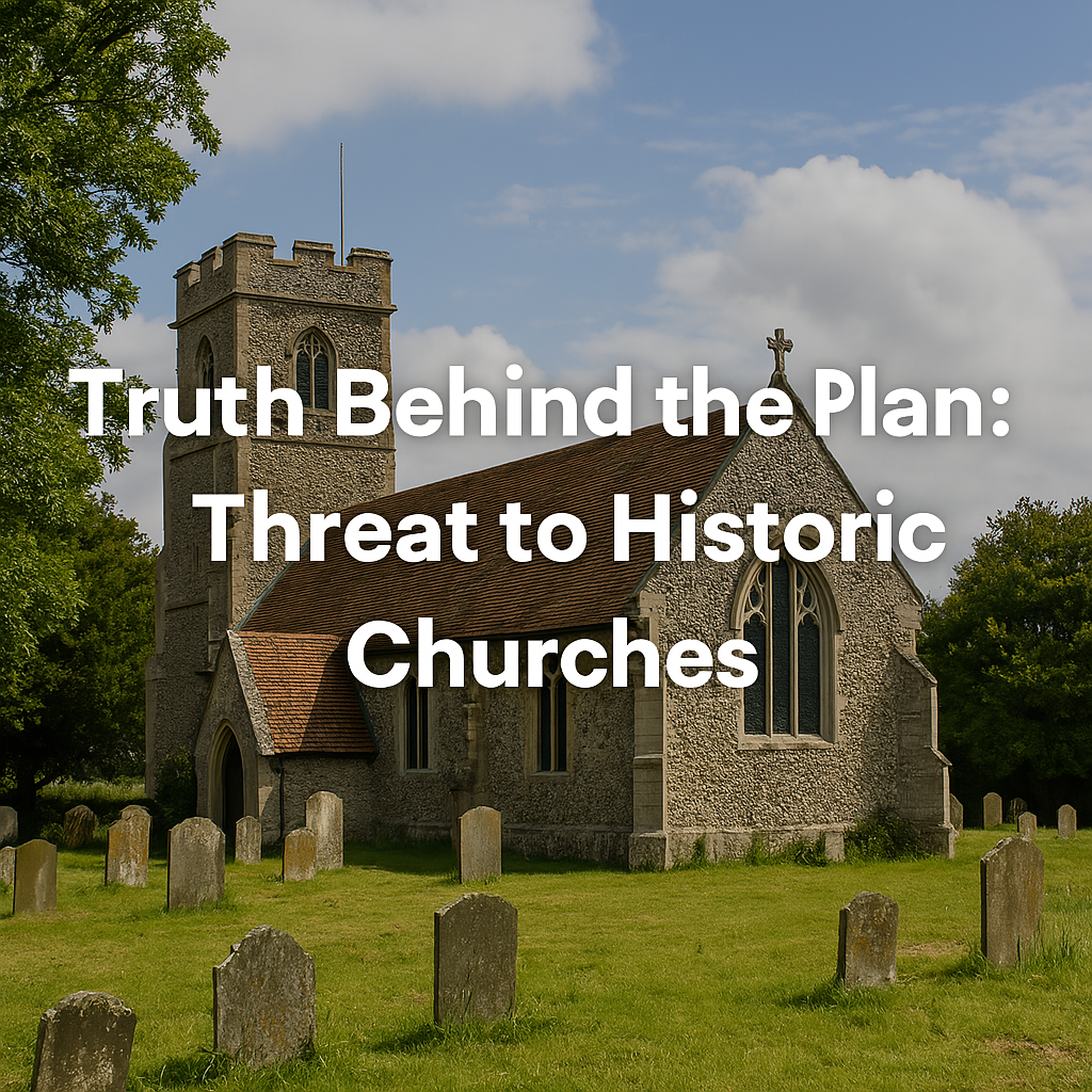
St Marys Church, Sandon: A Jewel Under Threat
St. Mary’s Church in Little Baddow, is a historic parish church with origins dating back to the late 11th century. Constructed primarily from flint rubble mixed with Roman brick and stone, the church showcases architectural features from various periods due to subsequent modifications. it stands on elevated ground with open views across the Chelmer Valley, commanding a unique sense of tranquillity and spiritual continuity. This church is not just a place of worship — it is a defining feature of Little Baddows historical identity.
The Hammonds Farm proposal would place thousands of homes and industrial-scale buildings within direct visual reach of this setting. The proposed 18-metre-tall commercial buildings (equivalent to six storeys) would dominate the skyline, especially when viewed from the churchyard and surrounding public rights of way.
This is not sensitive development. It is the urbanisation of a historic countryside setting, and the damage would be irreversible.
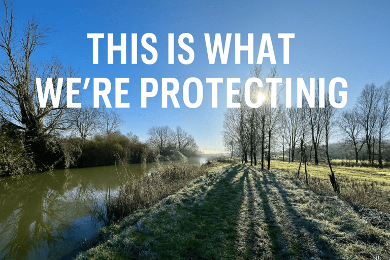
The Chelmer Navigation: A Living Heritage Corridor
Running through the base of the valley is the Chelmer and Blackwater Navigation — a historic canal route constructed in the 1790s to connect Chelmsford with the port of Maldon. Today, it serves as a popular walking, cycling, and leisure route, offering a rare and scenic glimpse into Essex’s industrial and agricultural heritage.
The proposed access road to Hammonds Farm would require a new bridge crossing the Navigation, introducing:
- Light pollution and vehicular noise
- Visual disruption of a tranquil waterway
- Permanent change to the character of a historically significant route
This setting is a non-designated heritage asset in its own right — and its value is based not just on structures, but on the wider landscape experience, which would be fundamentally degraded.
Planning Policy: A Clear Duty to Protect Heritage
The National Planning Policy Framework (NPPF) is explicit:
“Great weight should be given to the conservation of heritage assets. Harm to the significance of a heritage asset (including from development within its setting) should require clear and convincing justification.”
— NPPF, Paragraphs 199–202
Where harm is identified, it must be outweighed by demonstrable public benefit — yet no such benefit has been proven in the Local Plan evidence base.
In the case of Hammonds Farm:
- No detailed heritage mitigation strategy has been published
- The setting of multiple listed buildings would be compromised
- Cumulative impact assessments are absent or inadequate
This is not merely a technical oversight. It is a failure to meet the legal and policy duty to protect heritage under both the NPPF and Section 66 of the Planning (Listed Buildings and Conservation Areas) Act 1990.
Council’s Own Evidence Base Raises Red Flags
Chelmsford’s Heritage Impact Assessment, published alongside the Local Plan evidence base, acknowledges potential harm to multiple heritage assets in and around the Hammonds Farm site.
Yet despite this, the site remains allocated — with no clear explanation as to how the Council proposes to mitigate that harm or demonstrate a net public benefit. This inconsistency suggests that heritage has not been given appropriate weight in site selection, contrary to both national guidance and statutory requirements.
Cumulative Harm: Ignored and Unmodelled
The issue is not just about individual assets like St Marys Church. It is about cumulative harm:
- Loss of landscape setting across the Chelmer Valley
- Increased traffic, light, and noise near historic lanes and buildings
- Gradual suburbanisation of areas whose value lies in their rural, historic character
Once lost, this heritage cannot be recreated. And the Local Plan does not meaningfully account for this cumulative damage.
Conclusion: This is a Heritage Emergency
Hammonds Farm is not just the wrong site due to flood risk, visual harm, and traffic chaos. It is also a direct threat to Chelmsford’s heritage — a heritage built over centuries, and now at risk from a single short-sighted planning decision.
We have a duty not only to meet housing needs, but to protect the identity and story of the communities we call home.
This site must be removed from the Local Plan — before the damage to our heritage becomes permanent.